
Pin Parvati Pass Trek
The crossover expedition that links green Parvati Valley to the cold desert of Spiti over a 5,319 m glaciated pass.
Very Difficult
Meadows, a glacial lake, birch forest and then a near-vertical ice wall you rappel down off a 15,000 ft pass.
Buran Ghati packs an unreasonable amount of variety into seven days. It starts in Janglik, a remote Himachali village of wooden farmhouses and wheat fields above the Pabbar River, and finishes in the apple orchards of Barua in Kinnaur. In between: the enormous green tableland of Dayara meadows, silver birch forest, a glacial lake in a natural amphitheatre, and a pass at 15,000 ft.
What makes it famous is the descent. On the far side of Buran Ghati the mountain simply drops away. In the early season you rappel down a snow-and-ice wall on a fixed rope — an experience no other mainstream Indian trek offers. Later in the autumn the same descent is done on boulders and switchbacks.
Apart from the pass-crossing day the trek is easy to moderate, which is why it suits fit beginners who want something more serious than Sar Pass without going straight to Pin Parvati.
| Duration | 7 Days |
|---|---|
| Total distance | ~40 km |
| Maximum altitude | 4,572 m (15,000 ft) |
| Difficulty grade | Moderate – Difficult |
| Best season | Mid-May – June, Sept – Oct |
| Base / start point | Janglik village (via Rohru, Shimla) |
| End point | Barua village, Kinnaur |
| Suitable for | Fit trekkers with some high-altitude experience |
| Starting from | ₹15,500 per person |
Traditional Himachali wood-and-slate farmhouses, wheat fields, and a genuine sense of being at the end of the road.
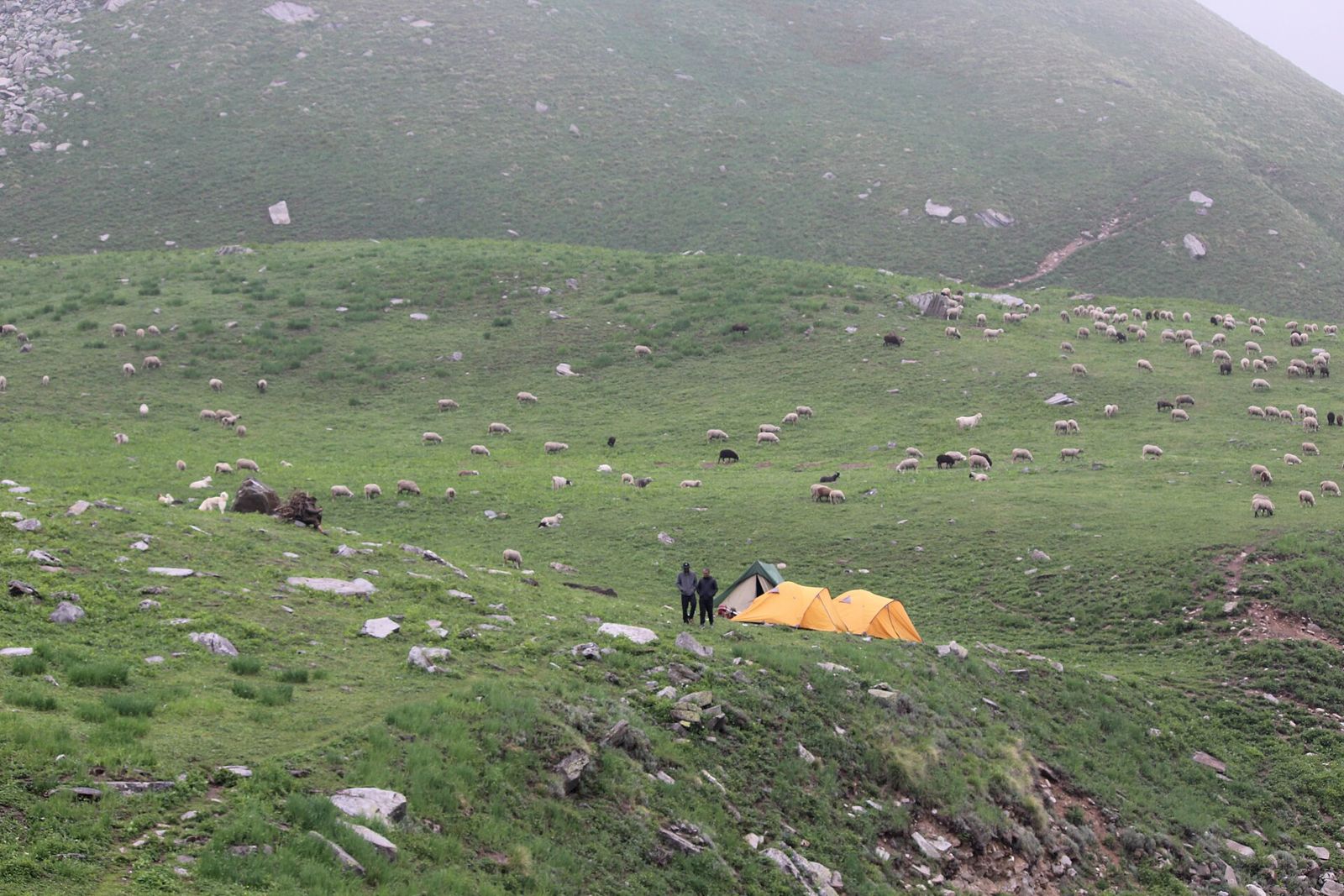
A vast green tableland at around 3,400 m with horses and sheep grazing and mountains on every side.
The stretch between Dayara and Litham runs through pine, oak and rare high-altitude silver birch.
An acclimatisation hike to a glacial tarn sitting inside a bowl-shaped amphitheatre fed by snowfields.
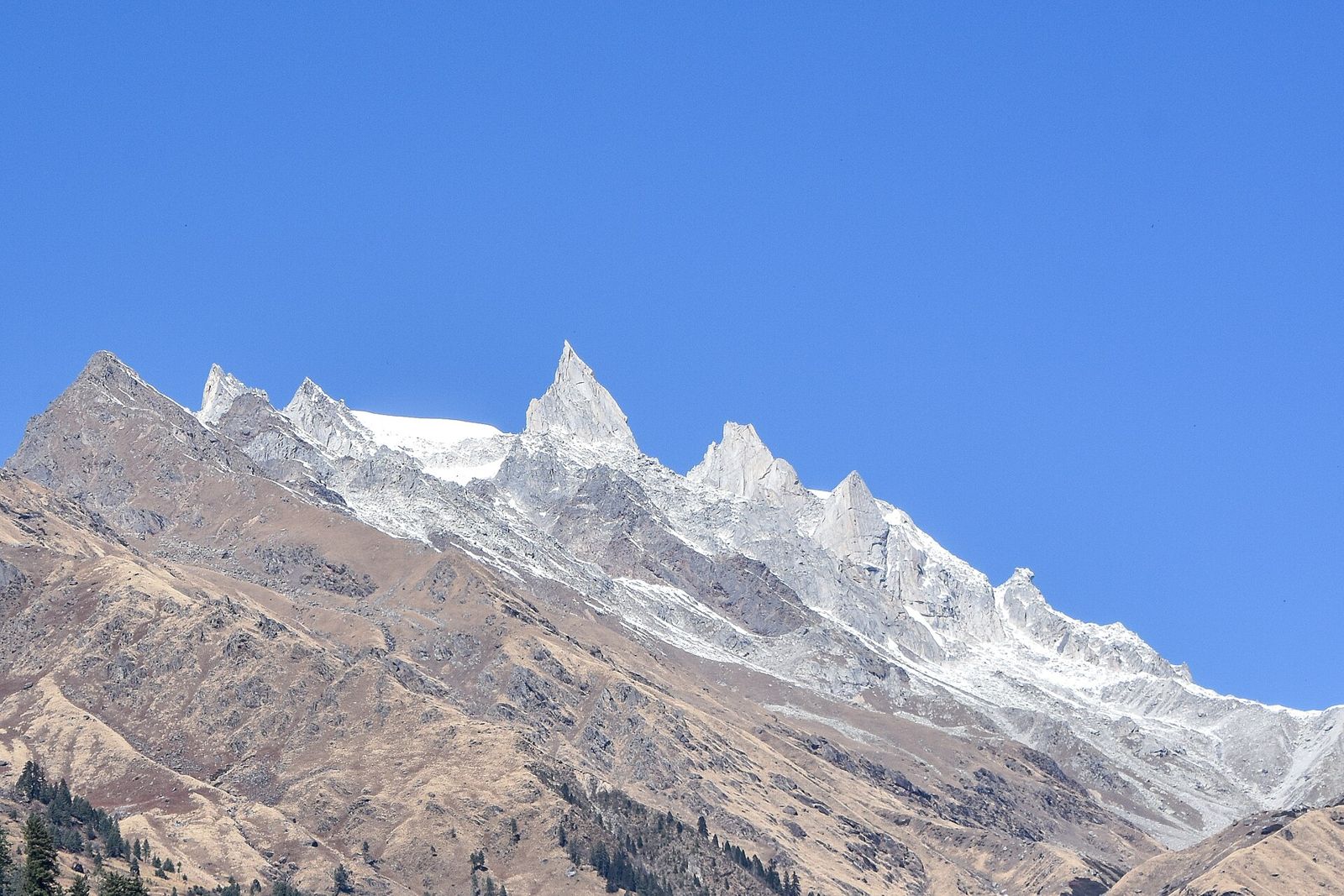
The high point, with the Dhauladhar range and Gunas Pass visible on the approach.
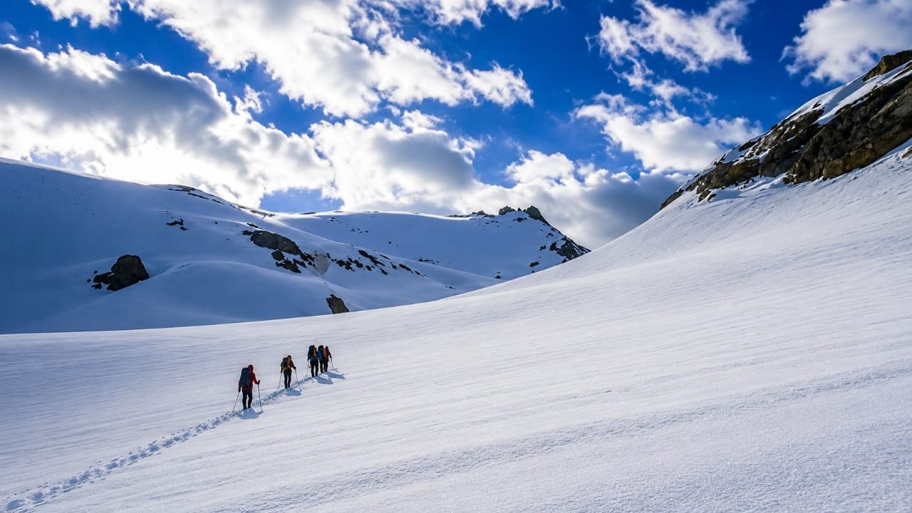
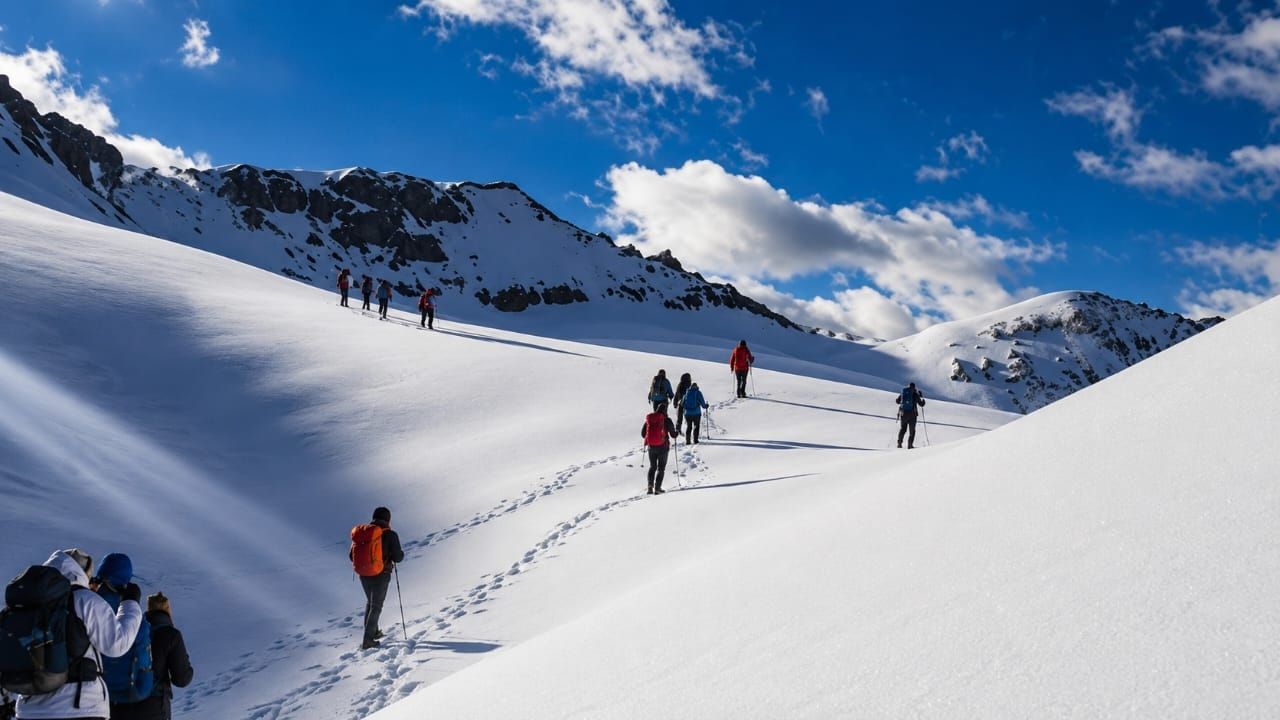
The signature moment: a roped descent down a near-vertical snow wall on the far side of the pass in the summer season.
Distances and timings are guidelines. Your trek leader may adjust the plan for weather, snow or group pace.
Drive 40 km from Rohru · 3 hours · Altitude 2,804 m
7.5 km trek · 5 hours · 2,870 m to 3,390 m
6.9 km trek · 4–5 hours · 3,390 m to 3,470 m
Round trip ~9 km · 5–6 hours · up to 4,270 m
4 km trek · 3–4 hours · 3,470 m to 4,110 m
8.4 km trek · 9–10 hours · 4,110 m to 4,572 m to 3,505 m
~5 km trek · 3–4 hours · descent to 2,000 m
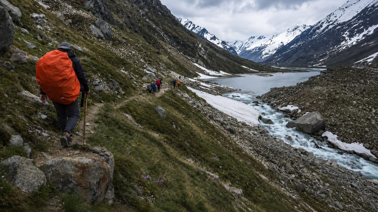
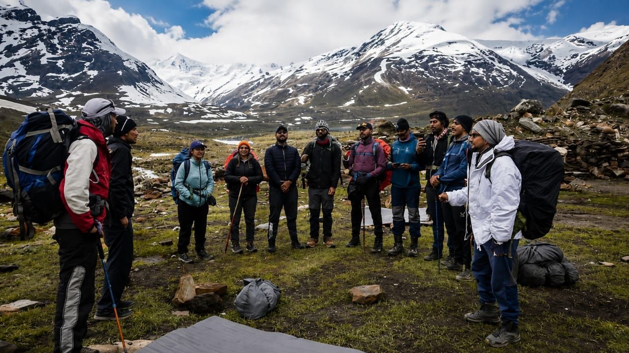
Exactly what your trek fee covers, and what it does not. No surprises at the road head.
Monk Trails provides: Tent · Sleeping bag · Sleeping mat · Dining tent · Kitchen tent · Microspikes (when required) · Safety equipment · First aid kit
Clothing, footwear, trekking gear, documents and medication — we keep one master checklist for every Monk Trails route, with notes on what to leave at home.
Tents, sleeping bags, sleeping mats, dining and kitchen tents, microspikes and safety equipment are provided by us. You only need to bring personal kit.
Full packing checklist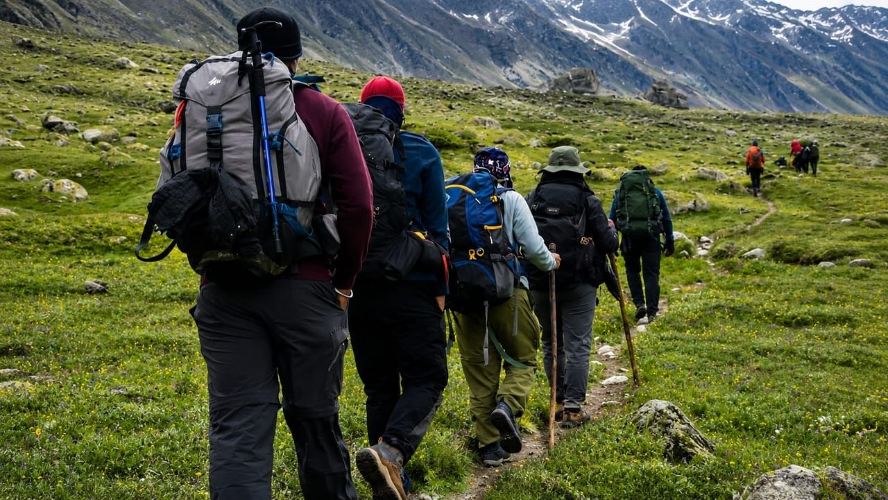
Moderate to difficult. Six of the days are easy-moderate, but the pass-crossing day is 9–10 hours with a steep boulder-and-snow approach and a roped descent. Some prior high-altitude experience is strongly recommended.
About 4,572 m (15,000 ft). Total trekking distance is roughly 40 km spread over seven trekking days, plus a buffer day.
In the summer season, yes — the descent off the pass is a roped rappel down a snow wall, done one at a time with a trek leader on the rope. No previous rope experience is needed. In autumn the same section is walked down over boulders.
Two windows: mid-May to the end of June for snow and the ice-wall rappel, and mid-September to mid-October for clear autumn views without the rappel.
You should be able to walk, jog or run 5 km in under 32 minutes before departure, and be comfortable with daily ascents and descents.
The crossover expedition that links green Parvati Valley to the cold desert of Spiti over a 5,319 m glaciated pass.
Very Difficult
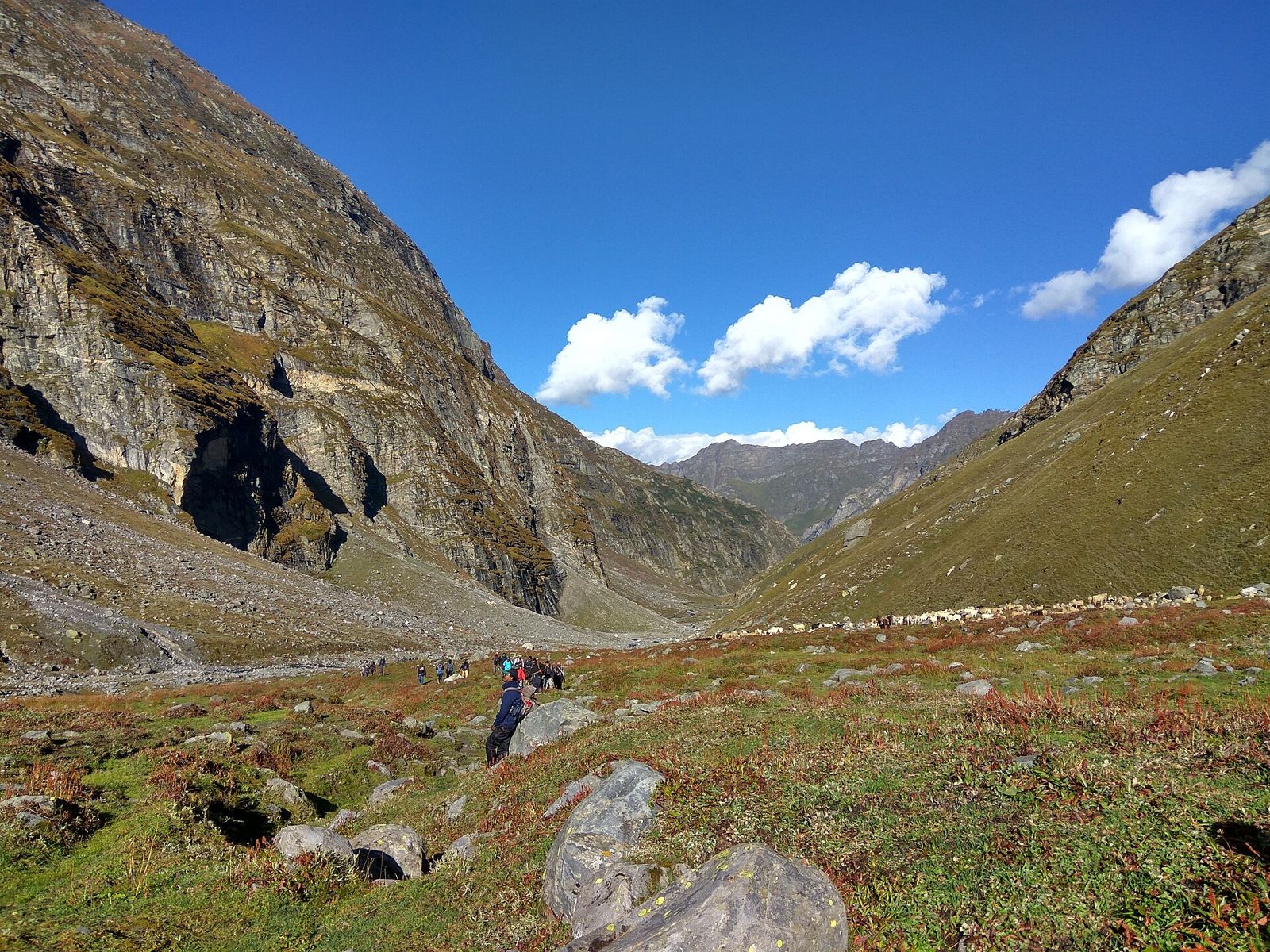
The most dramatic short crossover in the Indian Himalaya: green Kullu on one side, the grey desert of Lahaul on the other.
Moderate
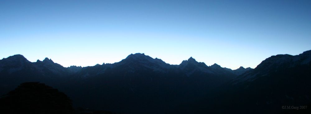
The classic Parvati Valley beginner trek, ending in a snow slide that can run a full kilometre.
Easy – Moderate
Altitudes and distances are approximate and vary slightly by route and operator. Trek difficulty: Moderate – Difficult. Best time: Mid-May – June, Sept – Oct.
Small fixed-departure groups. Certified trek leaders. Permits, camps and meals sorted. Tell us your dates and we will hold a slot.
Enquire & Book